

The HERE GIS Data Suite is a comprehensive collection of high-quality geospatial datasets provided by HERE Technologies. It’s designed for Esri professionals who need accurate, up-to-date location data for mapping, analytics, modeling, and decision-making.
It provides precise, up-to-date geospatial data that enables transportation & logistics optimization, supports network planning, guides strategic site selection, and informs data-driven urban planning decisions.
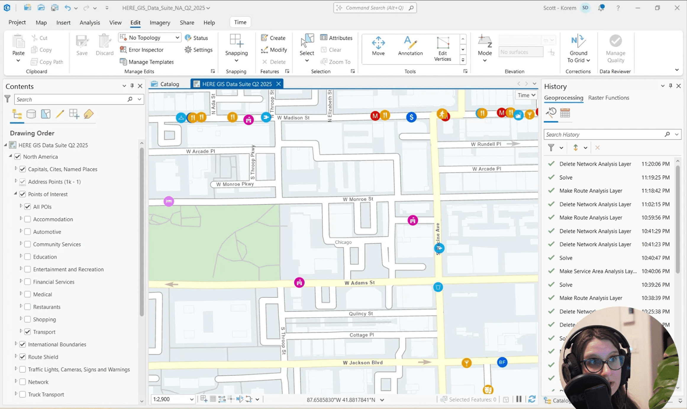
HERE GIS Data Suite is delivered with preconfigured ArcGIS files, styled vector tiles, and built-in routing and locator capabilities. There’s no need to clean data or build network datasets, simply load the layers and start analyzing immediately.
By removing data preparation, schema alignment, and ongoing maintenance work, teams save hours on every project. This consistency streamlines workflows across departments and allows GIS analysts to focus on higher-value tasks instead of technical overhead.
With 75+ datasets spanning roads, restrictions, addresses, POI, land use, and more, the suite delivers deep context for advanced analysis. This breadth and richness support sophisticated modeling and unlock new use cases in retail, transportation and logistics.
Represent the world around you including basemaps, building outlines, land use, and more.
Coming soon : A network dataset that reflects actual road conditions and historical traffic patterns. This enables advanced routing, service area analysis, and logistics modeling.
HERE GIS Data Suite includes an Esri locator file that delivers highly accurate address and place search.
Site selection & network planning
Identify high-potential store locations with accurate accessibility, POI context, and commercial environment insights.
Trade area analysis
Define precise catchment areas using reliable geocoding, micro-addresses, and detailed place categories.
Competitive landscape assessment
Understand local competition with ~400 place categories and enriched attributes like hours, ratings, and business types.
Drive-time & accessibility insights
Calculate accurate travel times using a detailed, always up-to-date road network.
Optimized routing & fleet operations
Plan safe, efficient routes with complete road data, including truck restrictions, speed limits, and access rules.
Last-mile delivery optimization
Improve delivery accuracy with micro-point addresses and precise location search.
Distribution center & network planning
Determine optimal hub and warehouse locations based on accessibility, demand, and surrounding activity.
Coverage & connectivity analysis (with cellular add-ons)
Analyze cellular coverage to enhance field connectivity, telematics, and fleet operations.
Choosing Korem means gaining more than a data provider, you gain a geospatial advisory partner.
We bring deep expertise in data integration, analytics, visualization, management consulting, and contract management. Our advisory approach ensures every solution fits both your technical environment and business objectives.
Korem guide you through the entire process, from requirements and solution design to integration, performance tuning, and user enablement. Beyond technical execution, we help you navigate licensing, procurement, and contract management to ensure you get the right data at the right scale and cost.
With strong knowledge of geospatial use cases across retail, transportation, insurance, finance, and telecommunications, Korem ensures your solution aligns with industry best practices, operational needs, and strategic priorities.
HERE GIS Data Suite is optimized for Esri ArcGIS.
Yes. Many Korem clients start with a specific country or region to validate their use cases before rolling out to a broader geography.
HERE GIS Data Suite is updated quaterly for accurate, up-todate analysis.
Absolutely. One of the strengths of HERE GIS Data Suite is that it serves as a common geospatial reference layer. Korem can help you align and integrate internal risk, asset, customer, and hazard datasets with HERE data.