Analytics and Visualization
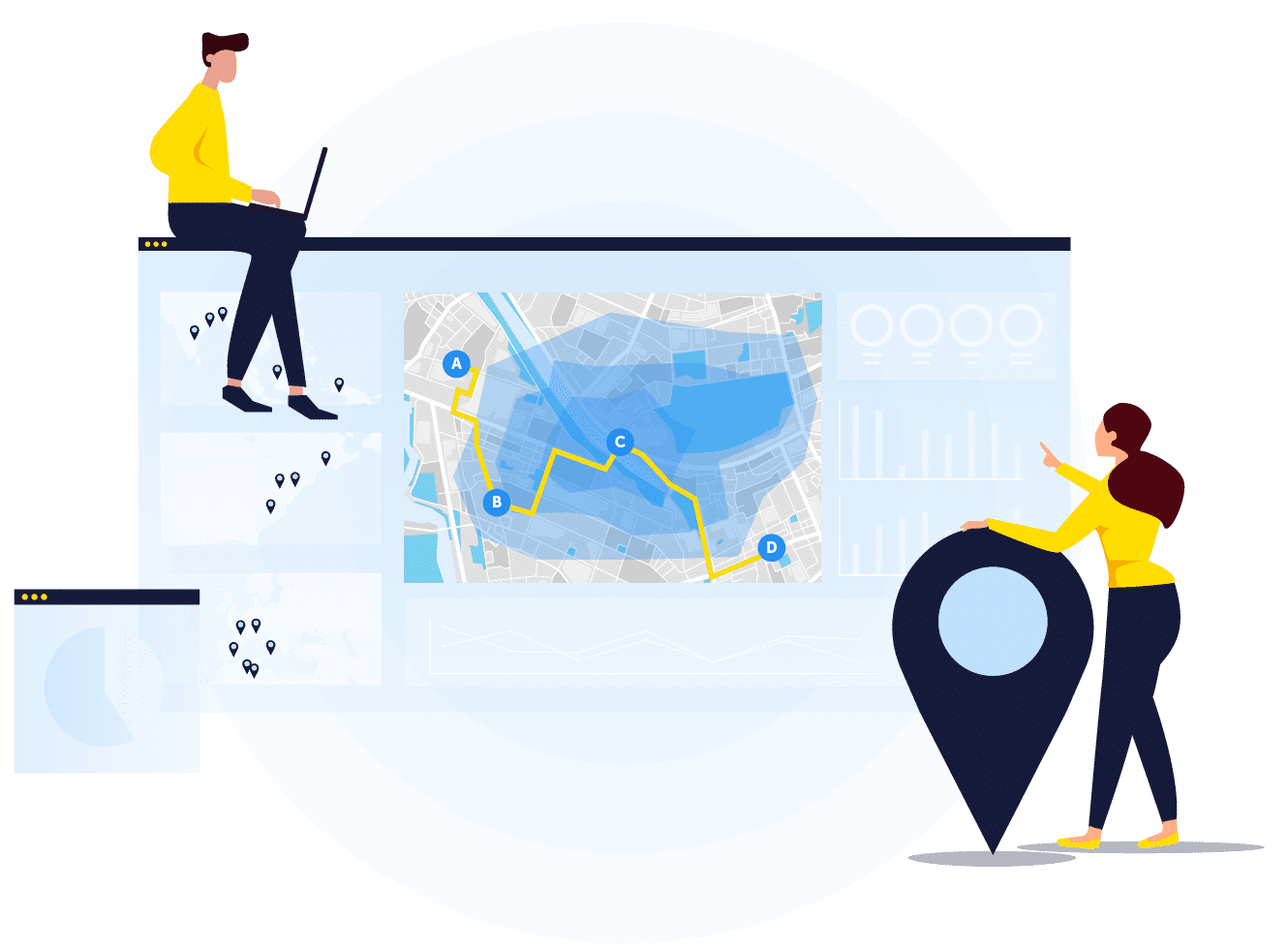
Location intelligence often leverages geospatial analysis and visualization. Visualization can range from a simple self-service Web mapping solution to more advanced spatial analysis or Geo‑BI (Geospatial Business Intelligence). This geospatial application frequently occurs behind the scenes, as an automated process, without the user even seeing a map. Geospatial analysis involves combining GIS (geographic information systems) capabilities such as geocoding, routing optimization, geoprocessing and spatial analysis into complex sequences. It enables business decision automation that can be used in insurance underwriting and rating or network service qualification for telecommunication carriers.
In many cases, geospatial analytics must be combined with advanced analytics. For instance, customer segmentation based on their location and profile allows targeted geomarketing. The same applies for defining sales territory, modeling risk or determining the optimal site location for a new store, or even predictive analytics that leverages spatial context for more accurate forecasting.
Desktop GIS is still an optimal way to offer geospatial analysis and visualization for some type of users such as GIS experts, but more and more companies leverage spatial ETL to automate batch processes and analysis. As the number of users increases and the use of location intelligence becomes more mature, enterprise GIS will be the natural evolution. It will also come in many forms: out-of-the-box Web and mobile mapping solutions, location-based services (LBS) integration, real-time geoprocessing data flows or a fully customized geospatial-centric business solution.
Whether you know what types of insights you would like to get out of geospatial analysis and visualisation or are wondering how to exploit your untapped data, Korem can develop a tailor-made solution, data flows or advise you on the right COTS (commercial off-the-shelf) software to get the answers you’re looking for.
Korem can also act has an extension of your team by guiding you during the implementation of geospatial analysis and geoenrichement into your existing models. We give you the tools and the knowledge so that your team becomes autonomous.
Korem’s approach as a geospatial partner and strategic advisor is to first evaluate your business needs, and then recommend a solution that can combine best‑of‑breed software, data, integration or customization services.
Our geospatial one-stop-shop allows us to support you at every step of the process, from solution ideation, product and data acquisition, contract management, implementation and integration, to the operationalization of the final enterprise solution.
We provide value for businesses in four areas of geospatial and data-driven expertise.