Data integration
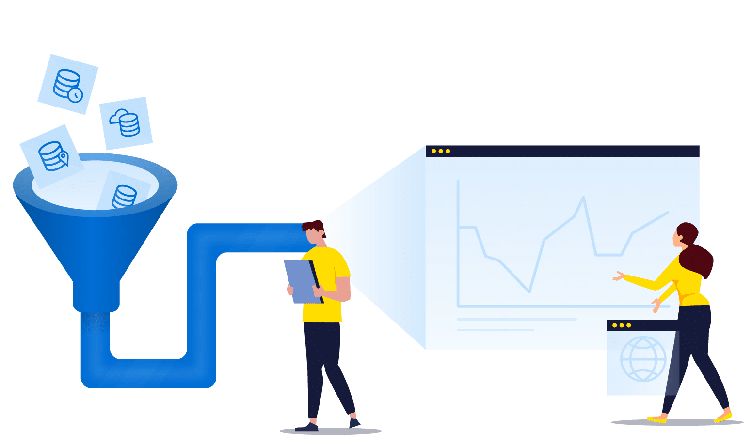
Data integration for location intelligence typically requires expertise working and understanding spatial and non-spatial data that either comes from your business, commercial data providers, or even open data sources. The data is usually not generated and stored in a single place. It resides in multiple systems such as ERP, CRM or specialized industry software, with each system using proprietary technology, different data formats and with various levels of data quality.
For these reasons, data integration often requires building advanced data processing sequences from:
Once integrated, this data can be geocoded or processed through address validation and standardization, making it suitable for geoenrichment, which is used to add context to the data. Leveraging geospatial capabilities to understand the relationship between datasets creates the ability to build a 360-degree view of your customers or assets.
With the ever-increasing amount of data, businesses are looking to derive valuable business information from untapped data sources such as the Internet of Things (IoT). Data integration needs to be adapted to the business context of each business, whether that means requiring real-time data integration or a massive amount of big data batch processing.
Korem has in-depth experience building solutions that integrate data from dozens of systems and databases, breaking data silos while maximizing the business insights that emerge from geospatial solutions.
Korem has also mastered the art of building optimized data preprocessing and imaginative performance optimization processes using various technologies including Geo-ETL. If you are struggling with proprietary systems or a lack interoperability, Korem is the right answer for you.
Korem’s approach as a geospatial partner and strategic advisor is to first evaluate your business needs, and then recommend a solution that can combine best‑of‑breed software, data, integration or customization services.
Our geospatial one-stop-shop allows us to support you at every step of the process, from solution ideation, product and data acquisition, contract management, implementation and integration, to the operationalization of the final enterprise solution.
We provide value for businesses in four areas of geospatial and data-driven expertise.