In this article
Thematic Map
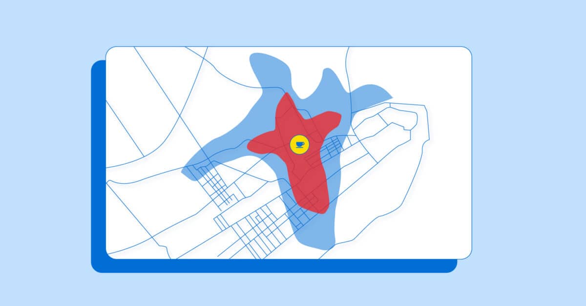
What is a Thematic Map?
A thematic map is a particular type of map which depict information on a particular topic or theme by using formal and codified map symbols. While general reference maps visualize something in a specific space, thematic maps tell us a story about this space.
Combining census data with boundary data provides the necessary elements to create a variety of thematic maps, useful to government policymakers and businesses alike. Each thematic map is usually represented by differing shades and colors for boundaries, lines, or point locations. Boundaries, lines, and points are referred to as geographic “primitives” as they are the building blocks of digital geographic data. Typical thematic maps include the ability to visualize the total population within a city or the average expenditure on clothing by ZIP code.