What is Geospatial Data?
Geospatial technology is a growing sector of the information technology (IT) industry. Many commercial companies and government agencies depend on the results of analyzing geospatial data for applications in telecommunications network planning, retail site selection, insurance risk management, and many more fields. But, as a somewhat new technology sector, the surrounding terminology can be confusing. This article will help to explain geospatial data and its applications.
If you are new to understanding geospatial information, think of geospatial data as the fuel that powers a car engine. In this case, digital geospatial data powers geographic information system (GIS) software. GIS software uses data to create digital maps such as that which you might find on Google Maps, for example. The physical objects that you find on Google Maps such as roads, trees, buildings, etc., must be converted to a digital format that can be read and understood by GIS software. Likewise, these data must be “projected” and aligned correctly to accommodate for the curvature of the Earth, a standard function of GIS.
How is geospatial data collected?
The process of collecting geospatial data can sometimes be completely manual. That is, an individual may take a paper map and capture map elements using a tool like a digitizing tablet to convert the map-based data to a digital format capable of being read by GIS software. However, advances in technology have come far enough that most data today are captured by any number of sensors, such as Earth observation (EO) satellite imagery and devices like cell phones with a Global Positioning System (GPS). Since GPS chips capture latitude and longitude, this fundamental piece of information is now more easily utilized by GIS software to visualize and analyze data at a very specific location on the Earth’s surface.
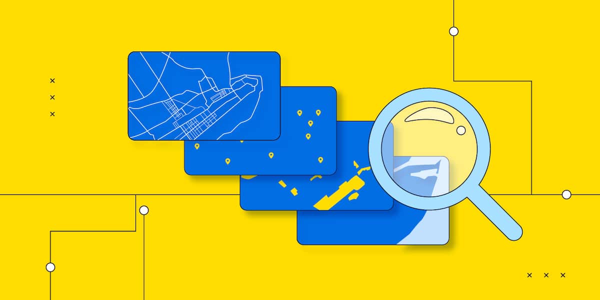
How is geospatial data defined?
The basic elements of digital geospatial data are points, lines, and areas. These are referred to as data “primitives.” Examples of data primitives are administrative areas or political boundaries such as country or city boundaries as well as water bodies; streets and other lines like pipelines and rivers; and finally, points of interest, referred to as “POIs,” like historical landmarks or the location of businesses such as your bank. Each data primitive can be represented separately in a GIS as a “layer” of information, such as the “street layer” or the “ZIP code” layer. GIS can combine layers so that a better visual understanding of the proximity relationships between each are well understood. In fact, the ability to see these proximal relationships is the main benefit of GIS because many layers can be combined at one time and, through a variety of “themes” or “thematic maps,” reveal information, that if provided in another form such as a spreadsheet, would likely go unrecognized.
What are the types of spatial data?
Digital geospatial data can also be represented by two distinct data types: vector and raster. Vector data is described as having direction and magnitude, for example, a street may have a direction of “North” and a length of 10 miles. Digital vector data is described as a line having a beginning and end point. Raster data is comprised of picture elements or pixels. Each pixel represents a discrete area on the Earth with a size that varies. A series of pixels is represented as a grid. Pixels can represent small areas such as a car driveway or a football field as well as much larger areas. As an example, the satellite data that you find on Google Earth is comprised of many pixels. Pixels best represent continuous surfaces, such as a land area, that are unencumbered by political boundaries. Hence, digital topographic data and digital elevation models are also best represented by a raster data type.
What are the spatial data formats
Digital geospatial data is stored in a variety of data formats. These data formats often carry a data structure unique to the type of GIS software product used. A variety of vendors sell GIS software and each usually requires a data structure that is most efficient for their own solution. Today, however, most GIS software can read and integrate data from a variety of data sources and formats. Alternatively, data can be stored and managed in a database, from vendors such as Oracle and Microsoft. The databases understand a variety of geospatial data formats as well. As such it’s important to understand the complexity of integrating disparate data sources, architecting a software solution that efficiently processes each data type, and selecting a database of record that can manage and retrieve data with the best performance possible.
How is geospatial data used?
Maps are so intrinsic to our daily lives that we intuitively value the visualization of geospatial data. Today’s vehicle navigation systems or applications such as Uber are powered by digital geospatial data. And we assume that when we use an application such as Uber or Lyft, we’ll see the location of the driver and the approximate time of arrival. These companies would simply not exist without GIS technology.
However, using geospatial data with GIS software is a little different. With an application such as Uber, many map elements, sometimes called “map tiles” are displayed on the mobile device at one time. Viewing POIs and streets, and other features are shown in colors and shades that are standardized using cartographic principals. Using GIS requires an understanding of how these elements are best represented for specific business purposes, such as city planning or geologic exploration. Geospatial data are generally separated into their primitive and stored as “layers” in the software. In this way, the data can be manipulated and queried to retrieve information about the attributes associated with each data layer. For example, the digital street layer may contain an attribute about speed limits. A query example might be, “Find me all the street segments where the speed limit is 50 mph.” A more complicated query might combine a boundary layer that has information about the population in an area. And the query might be “find me all the ZIP codes in the State of Tennessee where the population is greater than 25,000 people.” Both are examples of geospatial data analysis.
The future of geospatial data
Geospatial data is being captured everyday and more of it is available for geospatial analysis. By some estimates, over 2.5 quintillion bytes of data are created by humans daily and it is estimated that approximately 80% of all data is referenced by a location. For many years to come we will have an abundance of geospatial data to help us understand more about people, places and things than ever before.
