Power-up Your ArcGIS Ecosystem
Get the best of both worlds: Premium Data with the Leading GIS Platform.
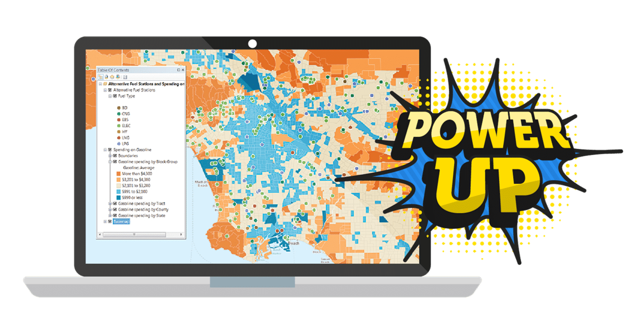
3 ways Korem strengthens your ArcGIS ecosystem
Premium data in File Geodatabase format
Enhanced geocoding capabilities
USPS CASS certification integration
Geo-Centric vs. Geo-Enabled Approach
Today many companies employ a variety of geospatial technology and are transitioning from a traditional geo-centric environment to a geo-enabled enterprise deployment. These systems have the same core capabilities, but their integration challenges are very different.
Most advisory services firms and system integrators either have very limited or no knowledge of the leading geospatial software technologies such as ArcGIS, MapInfo, GeoMedia, Carto, Google, or FME.
Over the years, we have developed an expertise and a methodology to make it easy and effortless for our clients to compare geospatial solutions and data.
We bridge the gap between your current solution and your business goals, by sharing unique market perspectives and vendor-agnostic recommendations that help you map out a promising future.
Do you want to bolster your ArcGIS capabilities?
Complete this form for a complete, top to bottom, geo-enablement.