Mapping flood zones for insurance and financial services
June 5, 2025
Every disaster has human, material and economic consequences that must be absorbed by the entire community. When it comes to floods, the question is no longer whether an area will be affected, but rather to what extent. Today, environmental risk extends far beyond the property and casualty insurance sector, to include banking institutions and the real estate sector. In this context, high-precision geocoding solutions are becoming essential to enable these organizations to better assess, anticipate and manage impacts.
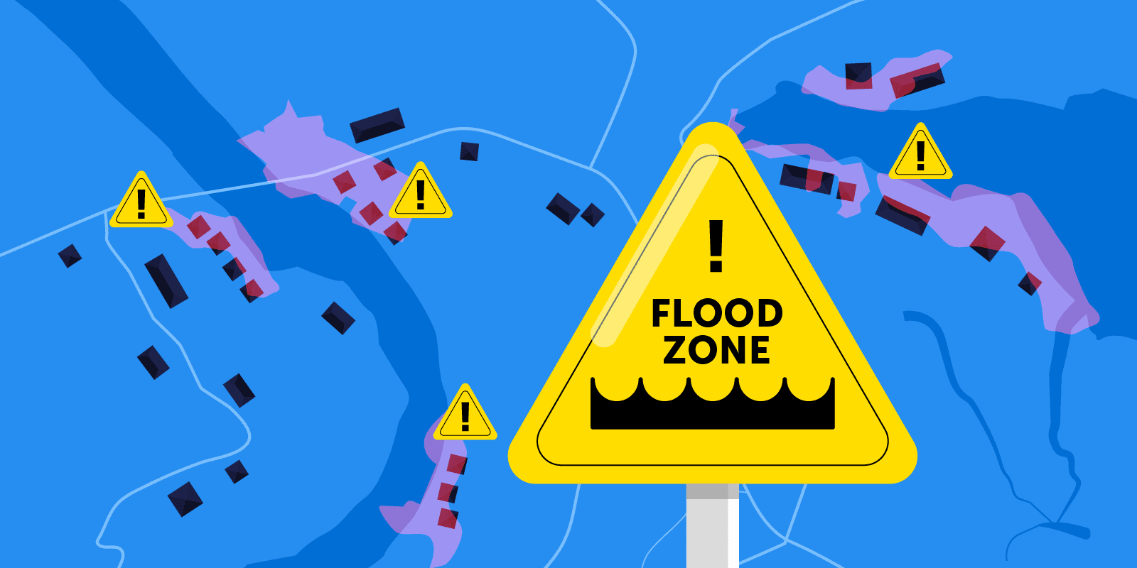
What is flood zone mapping?
Flood zone mapping is the process of creating detailed maps that identify areas at risk of flooding based on geographical, hydrological and climatic factors. These maps are essential tools for understanding flood risk, and are used primarily by cities, insurers and property developers to mitigate risk and make informed decisions.
Key elements of flood zone mapping
1. Geographical and hydrological data:
These include topography, river systems, coastal areas and drainage patterns. They identify areas likely to accumulate water during heavy rains or other floods.
2. Historical flood data:
Analysis of past floods, to predict the probability and frequency of future floods.
3. Climate change projections:
Incorporates factors such as sea-level rise, increased precipitation intensity and snowmelt patterns.
4. Infrastructure considerations:
Evaluates the impact of dams, dikes and stormwater management systems. Includes areas where protective measures may reduce or increase flood risk.
What is the purpose of flood zone mapping?
For citizens and businesses
Mapping enables us to pinpoint areas prone to flooding, whether caused by river flooding, storms or tides. This information helps residents and businesses to understand their exposure to risk, better protect their assets and make informed decisions, for example by reinforcing their infrastructure or investing in appropriate protective measures.
For insurance companies and banking institutions
Flood zones have a direct impact on the decisions taken by insurers and banks to protect themselves from risk. Insurers use these maps to determine flood insurance eligibility and rates, while banking institutions use them to assess the risks involved in granting mortgage loans. For example, properties located in high-risk areas may be deemed uninsurable or ineligible for financing, thus affecting their market value.
In fact, Canadian financial institutions are now faced with increasingly stringent obligations in terms of customer geolocation and climate risk scenarios. As part of the Standardized Climate Scenario Analysis Exercise (SCSEA), banks are required to produce analyses that take into account the environmental exposure of their portfolios. Precise geocoding of assets thus becomes a strategic lever for complying with regulations and better anticipating financial impacts.
For urban planning
For cities, governments and local authorities, mapping is a guide to managing land development. It helps them decide where to build, design flood-resistant infrastructure and regulate land use to reduce the impact of flooding. It also helps to better manage drainage systems and protective works such as dykes and dams.
The state of Flooding in the USA and Canada
Climate change and rapid urbanization are intensifying the frequency, severity, and geographic reach of flooding across many regions globally. North America is no exception. In 2024, the United States experienced a staggering $217.8 billion in economic losses from natural disasters—a significant portion of which was driven by flooding events. Of this amount, $112.7 billion was covered by insurance, marking a sharp increase from previous years. Meanwhile, Canada recorded a historic high of $8.5 billion in insured losses from natural disasters during the same year.
The evolving nature of flood risk is quickly rendering many flood models and hazard maps outdated. These tools, often based on historical data, are struggling to keep pace with the accelerating impacts of climate change—raising concerns about their reliability for long-term planning and risk mitigation.
Recent data underscores the scale of the challenge. Approximately 6.6% of U.S. residential properties, valued at nearly $3.4 trillion, face severe or extreme flood risk. This exposure has significant implications for housing markets, infrastructure resilience, and insurance strategies.
Geospatial technologies and solutions for insurers and banks
1. The role of high-precision geocoding
High-precision geocoding is essential to correctly locate each building and reduce errors in flood risk assessment. Inaccurate geocoding can distort the classification of a property, placing it in a flood zone when it really isn’t, or vice versa. This can have far-reaching consequences, such as unjustified increases in insurance premiums, or risk-taking that can lead to financial losses for organizations. By using advanced geolocation technologies, insurers and banks can ensure that their decisions are based on reliable and accurate data.
Learn more about geocoding solutions here.
2. The Importance of Property Data
The integration of accurate property data, including building footprints and structural characteristics, is essential to refine flood risk assessments. This data includes the exact size, height and location of buildings, as well as details such as number of storeys, building materials and age. This precision enables a more accurate assessment of a building’s vulnerability to flooding, using, for example, a reference point located directly on the roof or at the building’s actual location.
With solutions such as Precisely’s Property Attributes data, insurers and financial institutions can access detailed information on properties, such as their year of construction, type of structure and other characteristics essential to risk assessment. For example, by taking into account the number of floors, insurers can adjust insurance premiums: dwellings on higher floors could be less exposed to flooding than a single-storey, single-family home.
Try out now the building footprint data to find out whether or not the building is in a flood zone.
3. Artificial intelligence for pricing and underwriting
Artificial intelligence (AI) and advanced machine learning (ML) models are playing an increasingly important role in insurance risk analysis, pricing and underwriting. Thanks to AI, insurers can process huge volumes of data from geospatial imagery, weather models and flood histories to accurately predict risk.
Korem’s approach to accurate flood risk assessment
The rapid evolution of flood risk zones poses new challenges for insurers, banking institutions and real estate asset managers. Between map revisions, increasing policyholder losses and regulatory pressure, it’s becoming essential to rely on accurate, up-to-date and perfectly located data.
At Korem, we work with the world leaders in geospatial data and location solutions to help you leverage geocoding tools and building data. Our experts can help you select, integrate and optimize technologies tailored to your operational realities and business objectives.
Contact us to validate the accuracy of your current solution.
