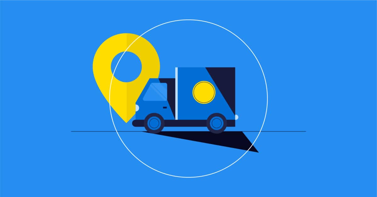
Fleet Management
What is fleet management?
Fleet management is the process of properly dispatching and distributing motor service vehicles to the proper destination, along the most efficient routes, and with the appropriately skilled personnel, within a defined time window and budget.
What does a fleet manager do?
Fleet managers are in charge of optimizing operations, as well as coordinating systems, technologies, and employees. To make more informed choices about their fleet to improve processes, they need to rely on data. With fleet management telematics, they can create driver safety programs to track dangerous driver, vehicle, or fleet behavior.
What challenges do fleet managers face?
First, the fluctuating fuel costs, which are beyond the control of fleet managers, are their number one challenge. The solution to this problem is to find ways to reduce fuel consumption by choosing the most efficient routes through cost-benefit analysis with telematics software. As well as minimizing fuel consumption, cost control also includes reducing vehicle purchase costs and analyzing driver behavior. When acquiring new vehicles, fleet managers have to handle assessing changes in vehicle legislation, determining vehicle suitability and utility, and negotiating. They also need to evaluate insurance costs, taxes life cycle, and resale value.
Second, fleet managers must develop maintenance strategies to guarantee that they are safe for drivers, are in good working order, and meet compliance requirements. When accidents happen, they must ensure that appropriate measures are taken, including robust reporting in accordance with insurance reporting. Finally, fleet managers must make sure to implement health and safety policies and maintain driver training records.
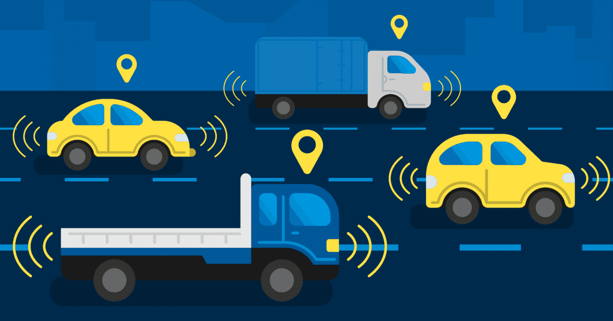
What are the advantages of fleet management systems?
Geospatial technology can have a big impact on fleet management, such as:
- Use of real-time traffic data to manage the unexpected
- Optimized delivery routes
- Lower fuel, insurance, and labor costs
- Eliminating unauthorized access or vehicle usage
- Compliance with current regulations with electronic logging devices (ELD)
- GPS fleet tracking
- Monitored driver behavior
- Increased driver security and driver retention
- Connected cars
- Improved customer satisfaction
Read this article on how to improve fleet management with geospatial technology to know more.
Which organizations use fleet management?
All industries with at least five vehicles benefit from using fleet management, including:
- Public transportation
- Utility services (oil and gas)
- Real estate
- Telecommunications
- Retail stores
- Restaurants
- Government institutions
- Emergency services
- Construction
- Etc.
What products does Korem offer to improve fleet management?
We offer a full range of fleet management solutions from HERE Technologies. These solutions include HERE Location Services software, which allows users to be guided to their destination, and the following data:
- HERE Map Data: ensures the quality of real-time tracking of the vehicle fleet.
- HERE Real-Time Traffic: enables routing applications to get drivers to their destinations faster and more efficiently.
- HERE Speed Limit Data: provides speed limits for a road or road segments.
- HERE Traffic Data: reduces and resolves delays, helping your team get to their destination in the fastest, safest, and most cost-effective way.
- HERE Truck Data: keeps drivers safe, minimizes delays, and optimizes loads for delivery times and shipping requirements.
The eDriving case study is particularly interesting in demonstrating the utility of HERE Technology’s solutions. eDriving helps organizations around the world improve safety as well as reduce collisions, incidents, injuries, license violations, and carbon emissions through its patented digital driver risk management programs that reduce the total cost of fleet ownership.
The company was facing challenges in data quality, speed limit accuracy, and geographic coverage provided by its previous map data partner. With HERE’s mapping and location services and Korem’s expertise, eDriving was able to reduce the number of speeding disputes by 60% and subsequently launch in 59 new countries.