GIS Data Applications for Transportation
Throughout the transportation and delivery industries, companies have to cope with drastically changing routing plans. With cities and towns under constant development across the U.S., routes that were once speedy and efficient can suddenly be rendered slow and congested. In some cases, routes must be completely redesigned as new buildings are erected and old boulevards are replaced with one-way streets.
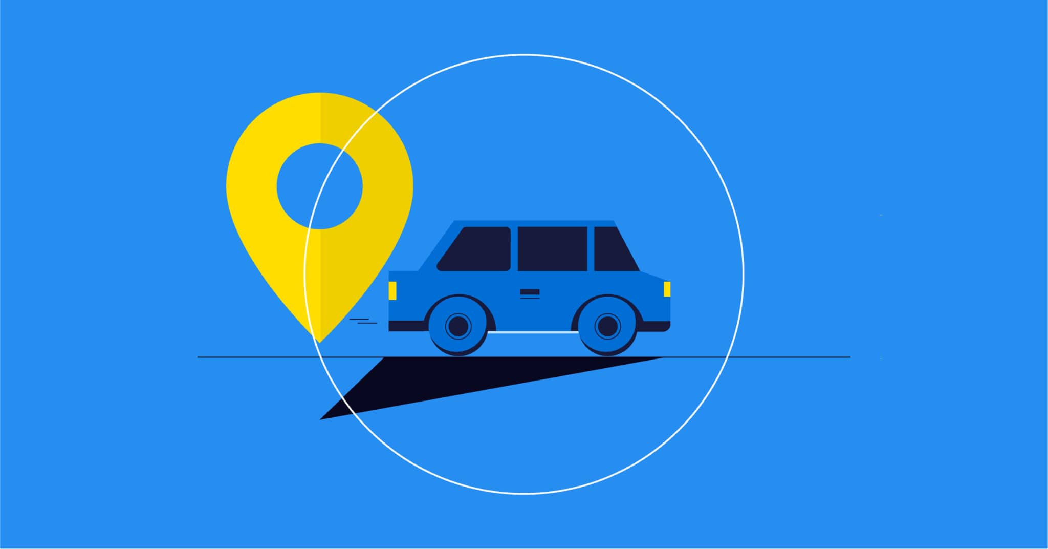
In order to stay on top of current routing systems, transportation and delivery services have turned to geospatial information systems (GIS), which make use of geospatial data to determine the most efficient routes between the dispatch and destination points for a given shipment or travel line.
If you wish to compete in the delivery industry, you must make use of GIS data to remain competitive, satisfy your customers and keep operations cost-efficient. Transportation analysis using geospatial information systems can help your business improve and excel in the following areas.
Using GIS to Identify Customer Locations and Types
When a delivery service uses GIS for dispatch routing, the day-to-day routine becomes a whole lot more efficient. Newspapers, for example, can be delivered to newsstands and customers with much greater speed and efficiency because GIS data provides far more specific information on the routes to each delivery point.
GIS data also makes it easier to satisfy customer demand with home deliveries of all sorts of products.
You can also use GIS data to study which types of customers live on a given block. If you sell to a specific demographic, the data can be used to route your deliveries directly to those customers and cut some of the extraneous mileage from your fleet. Likewise, if you find that your sales have predominantly come from people in a specific area, financial bracket or cultural demographic, you can more easily determine whether your bottom line would best be served by focusing on these groups exclusively.
Volume and Time Requirements
GIS for delivery services allows you to manage shipment volumes on a daily, weekly and monthly basis with greater accuracy. If an “X”-amount of one product must be shipped to destination B on Mondays, Wednesdays, and Fridays, you can have that information calculated and differentiated from other delivery obligations, such as the customer who needs “Y”-amount delivered on Mondays and Fridays only.
With GIS, traffic patterns for delivery planning become much less problematic even on the most congested of days. The application allows you to expertly plan delivery volumes to each customer, regardless of distances and traffic conditions in a given area. With all these advantages at your fingertips, your fleet can surpass expectations and edge out the competition in the markets you cover.
Regulatory and Physical Restrictions
GIS transportation analysis also makes it easier to pinpoint routes in which physical restrictions can impact speed and efficiency.
For example, it might be impossible to deliver shipments that exceed certain capacities to destination points with complicated, uphill roads along the way. Likewise, certain loads sizes could be physically overbearing on your fleet vehicles — especially when the loads in question must be delivered across long distances.
With GIS, you can much more easily pinpoint the area in which regulations apply. This can be important if your area of coverage crosses certain state or county lines. For example, if a product has been regulated within a certain jurisdiction, you can avoid routes that might swing through that territory. Otherwise, a delivery route could easily swipe through the corner of an off-limits territory on the way to the shipment’s final destination.
Traffic Patterns
One of the main advantages of GIS in transportation is that the technology allows you to determine how traffic patterns are liable to impact the speed of travel between each point along a given route. Traffic patterns can be studied against numerous factors that can impact speed and flow, such as the following:
- Morning vs. midday vs. evening
- Weekday vs. weekend vs. holiday
- Clear sky vs. rain vs. snow
The application of GIS in transport network systems makes it possible for delivery and public transportation services to map the most optimal routes for all hours, days, and weather conditions. Instead of relying on routes that are simply the most tried and obvious, you can determine which route will get you from point A to point B with as few stops as possible in between. In some cases, the shortest route is not even the fastest when traffic probabilities are taken into account.
Watch this webinar on fleet safety »
Road Network Distances
Geospatial information system data for transportation makes it easier to determine the distance of road networks by blocks, miles and various other measurements. With this information, you can map out the most expedient routes for deliveries or transportation at any time of day, whether you operate in a busy and heavily trafficked city or in a smaller community with twisty hillside routes and obscure back roads.
As any transportation company that operates in several different cities would know, road networks vary from town to town and city to city. Two urban centers that are roughly the same distance around could have vastly different road grids, traffic patterns and traffic lights frequencies. With GIS data, you can determine how to conquer the distances that exist in each area in which you operate and provide service.
Vehicle Costs and Capacities
GIS transportation analysis allows you to determine the costs involved with carrying products or passengers between pickup points and delivery destinations. Alternate routes can also be compared for savings. As you analyze the data, you are likely to find that certain routes are faster, yet more expensive, while others are longer but less costly. Ultimately, GIS helps you identify which routes offer the best of both worlds.
In some cases, the shorter route could be more expensive if there are dozens of stops and inclines along the way. Likewise, deliveries at maximum load capacity can wear down the components of fleet trucks. With GIS, you can analyze data to determine whether it would be cost-effective to take longer delivery routes with fewer stops. You can also use such data to decide if smaller loads would be better for the service life or your vehicles.
Customer Time Windows
Another great thing about GIS for delivery services is how the technology allows you to better route and plan your deliveries to customers who can only receive during select hours.
For example, if a customer is set to receive a large shipment of a certain product yet can only receive said product on Tuesdays between 11:00 a.m. and 2:00 p.m., you can pinpoint and track this and other special-case scenarios with GIS.
With GIS, traffic patterns for delivery planning can also be determined in advance to ensure you meet the time window of each customer. Depending on the weather of the delivery day in question, you can determine which route will best ensure the arrival of a particular shipment within the hours specified.
If one route tends to work best on clear days, yet another route is generally better in times of harsh weather, you can adjust the shipping route accordingly.
Work Time Parameters
Transportation routing with GIS offers numerous insights that can help you improve your ways of doing business. On one hand, you can identify the hours in which deliveries must be shipped in order to meet their destination within the customer time window. With that knowledge, you can better determine when the preparation time must begin.
For example, if two hours of preparation is required for a delivery that takes three hours to ship, you can schedule these steps along a fail-proof timetable with GIS.
GIS can also be used to help you work more efficiently within the hours allotted for a given delivery. For example, you might find it more cost-efficient to assign twice the manpower to select deliveries. Alternately, you might find that some deliveries can be smart-sized and that certain operations work better with fewer “cooks” in the “kitchen.” Either way, time parameters are easier to manage with GIS.
Dispatch Parameters
GIS for public transportation is generally the best in the business because the transportation companies that analyze geospatial data have better knowledge of their parameters. Judging parameters from a variety of factors, you can accurately determine the best points of dispatch for all routes. If you are expanding into a new area, GIS can be used to determine where dispatch locations must be placed for maximum citywide service.
These same insights can be used to overtake your competition in certain markets. For example, one locale might be covered by a transportation service that has used the same routes for years. However, GIS data could reveal just how much times have changed in that community and how different parameters are more efficient when recent developments are taken into account.
Knowing this, your transportation service could quickly emerge as the most popular option in this new market.
Mileage Savings
One of the key benefits of using GIS for transportation is the number of miles you can cut from various routes. Over the span of a given month, this can spare each vehicle from traveling hundreds of extraneous miles. When you multiply that savings over an entire fleet, you could potentially cut thousands of needless miles from your routing map.
For transportation vehicles, shorter distances also translate to savings on gas and engine fluid. With a number of miles cut from the delivery route of each vehicle, fuel ups become less frequent, and your company saves on its monthly fuel expenses. Depending on the size of your delivery fleet and the number of miles cut from your routing map, you could save hundreds on fuel each month.
Watch this webinar on middle and last-mile delivery »
Longer Service Life
An application of GIS in transportation can be a huge money-saver for any company that operates a sizable fleet. As a side perk to the mileage and fuel savings, you can also get longer service life for each vehicle thanks to the reduced amount of wear and tear. Simply put, the fewer miles a vehicle must drive, the less the engine must exert itself each day. As such, repairs and servicing are needed on a less frequent basis.
In terms of savings, the longer service life on each transportation vehicle can amount to thousands of dollars each year when the entire fleet is taken into account. These savings could be passed to your customers and used to improve your business in a variety of ways. In any case, the insights you gain by using geospatial data can be quite lucrative when you consider how the reduced mileage can save your company money on fuel and vehicle service.
Consolidated Fleets
Geospatial information systems for public transportation can help companies smart size in numerous ways. With geospatial data, you can instantly map out the most efficient routes for each line in your fleet. With improved routing comes the ability to trim your operation to a more manageable and cost-effective size. Basically, fewer vehicles are needed when your fleet is assigned a better-organized and more fluid routing map. As such, fewer drivers are ultimately needed when you use GIS.
When you trim your fleet to a more manageable and less costly level, your company will save even more money. Once again, these savings can be passed on to passengers and used to make the transportation experience all the more enjoyable. Alternately, you can keep your fleet at its current size and expand your company’s range of services to include areas your competitors lack the capacity to reach.
Watch this webinar on autonomous vehicules »
Improved Customer Service
The benefits of GIS in public transportation applications do not end on the side of the company — customers also reap many rewards. With geospatial data, you can make your routes faster yet more thorough, and customers will appreciate these differences. For example, you might find that you can arrive at certain destinations up to 10 minutes faster than the old route would allow, yet also add a few extra stops to accommodate seniors.
For transportation and delivery services, improvements in routing make it possible to provide better customer service. If you deliver products to commercial vendors, your business clients will appreciate the speed at which you allow them to stock their shelves and serve their customers. In some cases, you might be able to get things shipped days earlier than your prior routes allowed. These advantages could propel your company way above the competition.
Improve Your Transportation and Deliveries With GIS Data Applications
Customers rightly demand speed and reliability from the transportation sector. Whether you offer public transportation to passengers or ship products to customers, it’s crucial to get from the place of dispatch to the final destination with no setbacks along the way. As cities throughout the U.S. see changes in their routing systems — some for the better, others for the worse — you must stay on top of these changes and make every effort to improve.
With GIS applications from Korem, you can meet the challenges of today’s complicated and demanding transportation industry. Contact us today for more information about our data offerings and what we can accomplish together.
