Insurance Companies Look to Digital Earth Imagery When Disasters Happen
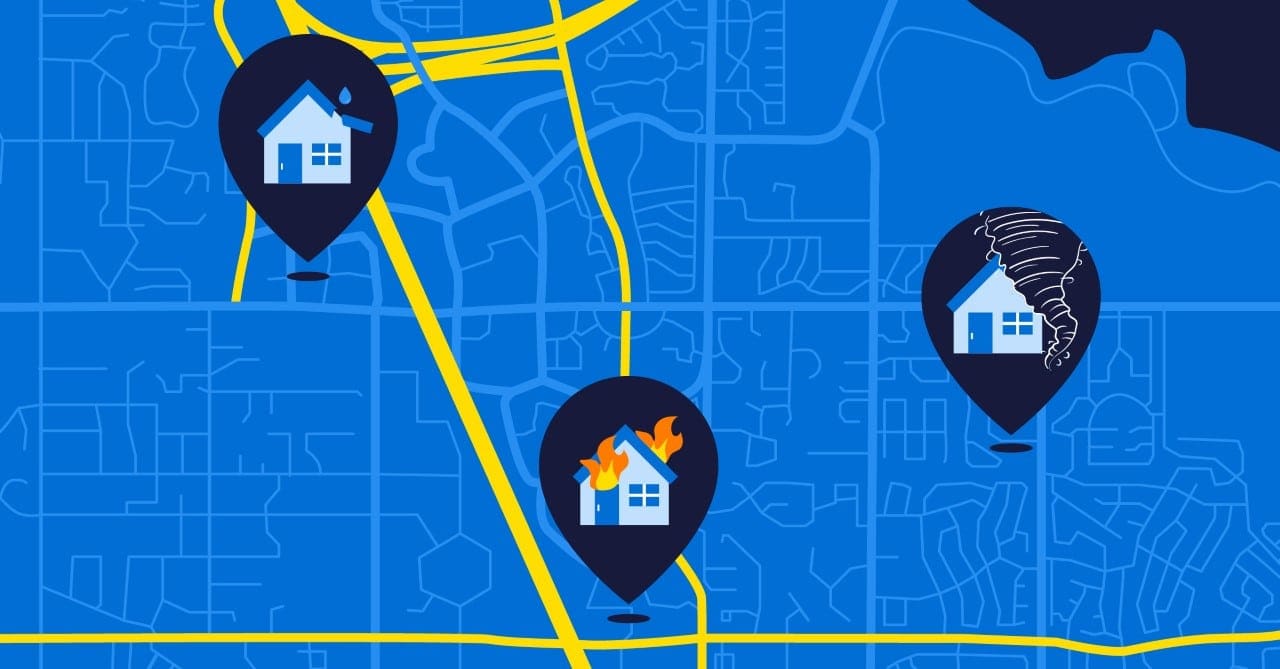
Every week, somewhere in the world, catastrophic natural disasters occur, and property and casualty (P&C) insurance companies pick up the cost to replace damaged and destroyed property. Assessing the damage in a timely and effective manner, and identifying fraudulent claims consumes resources. The average claims adjuster charges between 5% and 20% depending on the total claim amount. According to the FBI, a $20,000 claim could cost $2,000 for a single property, and the average cost of fraud can increase insurance premiums between $400 and $700 annually per family.
Could using aerial or satellite Earth observation (EO) imagery reduce these costs and provide added benefits? The answer is a resounding “yes,” but what most companies fail to recognize is where the value lies. There are many data providers but far too many “pixels” to understand what information can be truly useful. Let’s look at the value of digital EO imagery.
Satellite Imagery
Today, satellite imagery from Earth observation (EO) company, Maxar, provides high resolution imagery (e.g., ground equivalent pixel resolution is approximately 0.3 meters panchromatic; 1.2 meters color for WorldView-3 satellite) and can return to the same location on Earth daily. Planet, another EO company, has increased its constellation of SkySat satellites such that repeated visits to the same geographic location is now between 5 and 10 times each day and has 50-centimeter resolution.
Digital aerial imagery, captured by fixed-wing aircraft, at high resolution (approximately 20-centimeter ortho; 5-7-centimeter oblique) is available from the Geospatial Insurance Consortium (GIC), a member-based organization of insurance companies. GIC makes Blue Sky (archived imagery) and Gray Sky (event-driven imagery of natural disasters) available for the contiguous United States. Imagery from catastrophic events is usually available within 24 hours.
Drone Imagery
Drones also provide high resolution imagery; however, they have less aerial coverage because of a more limited flight line and altitude restrictions. Still, the ability to deploy with immediacy where insurance providers can selectively isolate the areas of interest provides great flexibility. Georeferenced images can be sent quickly and damage assessments can be made in a very timely manner.
Recently, the news has been positive for drone operators as the U.S. Federal Aviation Administration (FAA) has finalized rules for certification and identification. This will lead to more regulation, but also safer operations as the number of pilots of both commercial and recreational use expands.
Data Deluge
Let’s acknowledge that the volume of data from sources mentioned above is massive. Indeed, a growing part of the geospatial market is providing more software tools (both open source and commercial) and there are more companies (e.g., ecopia, BuildingFootprintsUSA) that perform feature extraction. AI is capable of revealing valuable data such as high-quality building footprint data, the area covered by impervious surfaces, vegetation that might represent a fire hazard, and others. But there are things people forget to consider when shopping for data like the costs associated with acquiring these data. These overlooked costs can include the update frequency, cloud-free coverage, reliably attributed information and basic storage of data.
Getting the Answers
While not every insurance company wants nor needs experts in image interpretation or digital classification, technology is improving to provide them with quick assessments of damage that a catastrophic event might cause to their policyholders. In turn, the objective is the ability to provide greater customer service that leads to both higher retention rates and net promoter scores.
However, what insurance companies really want are… ANSWERS! They are not that interested in raw image data. Answers come from analytics and the real return on investment for businesses is when they can operationalize raster imagery into “models” that bring insight. The information must be actionable.
They expect to have extracted information about:
- The number of policyholders affected by a catastrophic event;
- The square footage of damaged rooftops;
- The aerial extents of flood zones;
- The extent and impact of wind vs. water damaged areas;
- The number of policyholders not impacted by CAT event to prevent fraudulent claims.
These are just a few examples of how image data can be actionable to P&C insurance companies. Assimilating these data to account for the number of potential claims, and the extent of damage can be the input to refine risk models that lead to better policy pricing.
What we do for insurance companies »
What to expect next?
While a picture is worth a thousand words, digital imagery has millions of pixels, not all relevant for the insurance business, as mentioned above. The availability of EO data will take the form of data exchanges or “Data as Service.” There are already data marketplaces popping up on Amazon and other platforms to make information more readily available, which would be especially useful if these platforms are already being leveraged to host other business applications. The data deluge isn’t stopping any time soon, and it’s important for users to become more aware of how to apply Earth observation imagery for location analytics.
Where Korem can help
Korem’s experienced data science team will take large raster and vector data and make them actionable. This involves operationalizing data to go beyond managing, hosting, and serving terabytes of data, but also to allow flexibility in updating and combining data to refine risk models. Korem will provide a workflow from location data management through developing risk models that provide the “answers.” Call us today to learn more about how we can help your company navigate through the data deluge.
