InsureTech Connect: Staring Into the Geospatial Abyss – Part 2
The InsureTech Connect 2022 conference was held recently and was attended by insurance companies and the technology vendors that serve them. What did I learn? I learned that if I were in the insurance business and needed to understand more about geospatial data to support the risk models my company was developing, I would be helplessly lost. Staring into an abyss.
A few weeks ago, I published an article on just this topic, where I illustrated the current plight of prospective users of geospatial technology and the growing number of location technology providers. My conclusion was:
“The ecosystem for geospatial technology is now huge and growing. The chasm for the need for highly accurate, up-to-date data is huge, and users are staring into an abyss.”
Ostensibly, if you are investigating the potential applications of geospatial technology, you should expect to be challenged to understand who the providers of data and software are, the products they are selling, and their value for the money they are asking. This was especially true at InsureTech Connect.
InsureTech Connect 2022 Goes Geospatial
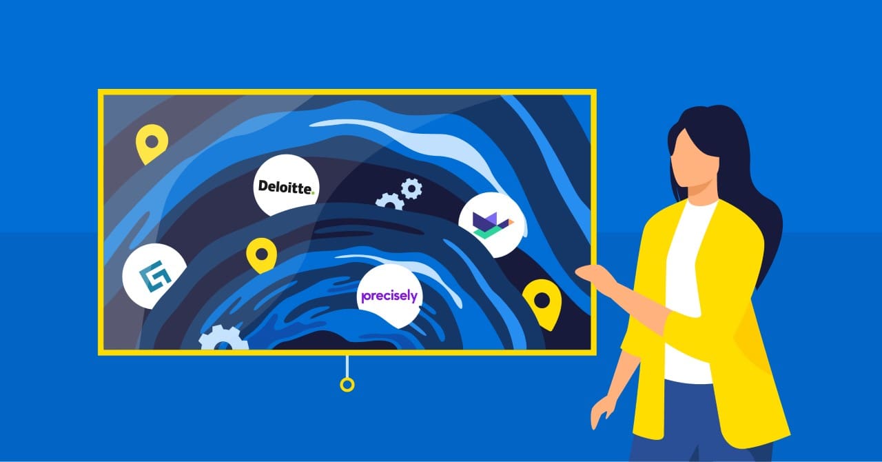
A few observations. As expected, the exhibitors represented companies from the enterprise insurance platform providers such as Duck Creek, Guidewire, and others as well as solution integrators like EY and Deloitte. But there were a surprisingly large number of geospatial data and technology companies. They numbered roughly 15 and it was informative to understand their value proposition in the context of this audience. Geospatial technology was clearly in demand. It was like an Esri User Conference without, well, Esri. It was certainly valuable to understand the new product introductions from companies like Vexcel, Nearmap, and EagleView. Others that were offering geospatial solutions included BetterView, GeoX, and Arturo.ai.
But there were many others. Walking the exhibit floor, if you didn’t have “AI” or “IO” in your company name or URL, you were in the minority. If you were selling beautiful satellite imagery…you drew a nice crowd (people love eye candy). If you weren’t selling at least a bundle of 1000+ property attributes…well, not interested. Perhaps I’m exaggerating that last one.
This is all to say that the contingent of geospatial companies that exhibited wanted you to know that they had either the most advanced, yet proprietary, AI model to extract features from satellite or airborne imagery, or they had the most current imagery available from which those features could be considered as “up-to-date.” This refocusing of geospatial technology from a horizontal solution to a vertically oriented suite of products for insurance companies represents a shift in business models. No longer is geospatial relegated to just a niche technology in search of a market.
Why is this important? Insurance is a naturally geographic business. This statement will seem incongruous to those in this business. However, you can’t underwrite a policy, assess claims, or determine the value of a property without location-based data. A property and casualty insurance company’s entire book of business is a measure of risk by location. For very recent examples, look no further than the impact of Hurricane Fiona on the Canadian Maritimes and Hurricane Ian as a CAT 4 slammed into Fort Myers Beach and Sanibel Island, Florida, stormed its way to the Atlantic, and made a left-hand turn as a CAT 1 to inflict substantial damage to the Charleston, South Carolina region.
Challenges Exist
What’s missing? Two specific challenges emerge. The first is that many technology companies that were exhibiting included the largest enterprise insurance platform providers: Duck Creek, EIS, Guidewire, and Majesco. How does geospatial technology integrate with these platforms as they are the ones offering cloud-based, modular SaaS solutions for risk, claims, underwriting, etc.? It was not entirely clear unless you asked the right questions and therein lies the problem. There’s a disconnect with what these enterprise solutions deliver in terms of integrating the risk data from geospatial tech. Here, Korem has substantial experience as we work with some of the largest insurance companies to help them with their digital modernization strategy.
The second is specific to the imagery providers. Insurance companies should ask why either the vendor’s AI models are better because of their proprietary algorithms or because the models are utilizing higher resolution imagery, or both. The challenge is to demonstrate that better algorithms are due to better imagery. And, if so, would it justify paying more? In the case of identifying policy claims in a post-CAT event, does it matter whether the imagery can discern if the roof is 25% or 50% damaged? Do you need 1-meter spatial accuracy or 50 cm accuracy, and should you pay for better accuracy? Regardless, the roof will have to be replaced. If the imagery can discern if the roof is substantially damaged, then it becomes a binary decision.
Total Losses
Verisk, a catastrophe modeling company, estimates that the damage from Ian could be between $42 to $57 Billion, with the majority coming from wind damage.
Tampa, Florida, where Hurricane Ian was anticipated to make landfall as it approached from the Gulf of Mexico was not directly hit. The distance is approximately 125 miles to the Fort Myers area. That variation in the distance probably amounts to several billion dollars in claims between a major metropolitan area that includes St. Petersburg and Clearwater, and the less populated area of Fort Myers. While that’s no consolation for the many people whose lives were massively upended, insurance companies can take some solace that more damage was not incurred.
Bottom Line
Insurance companies need to understand the value of geospatial technology and data. Some are well on their way, others not so much. One representative of an enterprise solution software company told me that most people in their company had no idea of what geospatial technology was. How then are their models developed without including precision geocoding and current risk data? The gap between the technology that is available and the expertise to utilize the information will widen without the support of a team that can narrow that chasm. Here, Korem understands these challenges and can help narrow the expertise gap that you may be missing.
