How Energy Utility Companies Are Using Geospatial Data & Location Technology for Regulatory Compliance
March 24, 2021
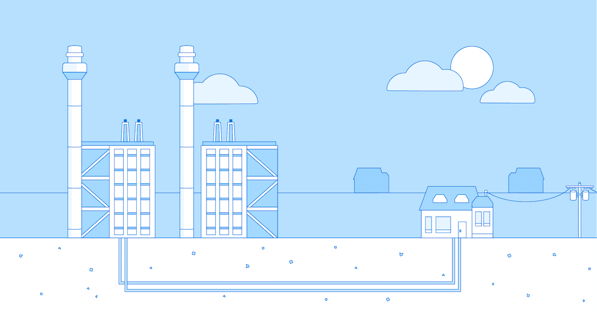
Transmission of energy is a national security concern, and the ability to keep businesses running efficiently demands that utility companies have access to accurate, real-time data. In addition, the pandemic changed the demand from powering office buildings with employees to powering homes which now also serve as offices. The recent energy disruption due to extreme winter weather conditions in Texas is the perfect example of the need to protect the nation’s energy grid. As such, utility companies have an enormous responsibility to keep the general population safe as pipelines and electric power line right of ways are in close proximity to more and more people. This is where geospatial technology plays a crucial role for utilities: current and accurate data provides the ability to mitigate risks associated with potentially hazardous situations in order to comply with current regulatory guidelines. In addition, geospatial provides a foundation for infrastructure buildout of new, or remediation of existing, utility transmission lines.
Automate the Identification of High-Risk Areas
For energy utilities, and specifically for natural gas operators, safety is paramount to mitigating catastrophes that would lead to property damage, environmental disasters or the loss of life. Therefore, integrity management requires the routine inspection of infrastructure, both above and below ground, and in proximity to building structures and people. However, prior to any work being performed in the field, mapping these areas prior to performing field inspection will help to set priorities and maximize the efficient deployment of field inspectors. In the past, utilities typically performed these tasks, but the process was generally manual.
Today, geospatial analytics combined with more accurate third-party data can help automate this analysis, ensuring that a utility is consistently up-to-date as it pertains to integrity management and compliance with regulations.
What’s your number?
We recently performed an analysis for a large utility company and we found that 4 to 6% of their reporting assignment was incorrect. Contact us today to understand how you can improve your regulatory compliance assessment.
Contact us
How to Automate the Identification of High-Risk Area to Be Regulatory Compliant?
1. Choose the Right Geospatial Data that Reveals Inherent Risks
A High Consequence Area (HCA) is described by the U.S. Transportation Department as “a location that is specially defined in pipeline safety regulations as an area where pipeline releases could have greater consequences to health and safety or the environment. For oil pipelines, HCAs include high population areas, other population areas, commercially navigable waterways and areas unusually sensitive to environmental damage. Regulations require a pipeline operator to take specific steps to ensure the integrity of a pipeline for which a release could affect an HCA and, thereby, the protection of the HCA.”
A gas utility must continuously evaluate the HCAs that are in the vicinity of its infrastructure. The number of HCA locations, along with a certain component will determine the risk classification for this infrastructure. To evaluate a location, the type of occupants (such as patients in a hospital), the distance of the location to the infrastructure, the density of locations, and the criticality of the location such as fire stations are all elements which need to be considered.
Looking only at a utility’s footprint or their existing customers is not sufficient to perform this analysis. However, it can serve as one relevant piece of information in the overall process. This is where leveraging geospatial data is critical. For example, highly accurate address databases, building footprints and their characteristics, parcel boundaries and point of interest data that provides information about the businesses located at a specific address are key layers. Other data sets such as the location of hospitals, schools and park boundaries can also play a vital role.
Geospatial Data for HCA Determination
- Accurate address database
- Building footprints and attributes
- Parcel boundaries
- Points of interest
- Hospitals, schools, park boundaries
- Mobility data
One final layer of information is relatively new: mobility data. This anonymized data of population movement near central business districts, retail centers and manufacturing facilities can be an exceptional set of data to evaluate risk and understand new areas of congregation. These data provide information about how many people are moving in proximity to these areas as well as when and where people are congregating.
Compiling these critical layers of information adds up to a very complete system of record but can be a daunting task for a utility. Here, geospatial technology expertise supports the identification of the right data sets but also how to maximize their advantages correctly.
2. Integrate the Data into your Enterprise Systems
Data integration must maintain the geospatial accuracy and alignment of all data layers that were identified above. This is not a straightforward task. Here, geographic information systems (GIS) software provides the ability to perform these processes. Many utility companies already maintain an existing GIS for asset management, however different departments within the same company may utilize different systems. Infrastructure mapping, outage management, and field service routing and scheduling are common applications. These mixed GIS environments with separate systems of record present an enormous challenge for accurate reporting to regulators. Regardless, GIS is a powerful solution for managing, analyzing and visualizing risks associated with HCAs.
3. Use Location Analytics to Determine Areas of Highest Potential Risk
Once these external data are fully integrated with business data such as transmission lines and existing customers, location analytics can proceed.
Creating an impact zone or “buffer” surrounding pipelines allows users to create automated queries of the data to identify distances and density. This allows users to ask questions such as “What are the number of buildings per pipeline within a buffer?” and “What are the types of buildings within the right of way?” Quantifying occupancy of structures is also key. For example, a hospital may be considered a higher risk than a church. The former is occupied daily and has a lower relative occupant mobility versus a church that has full occupancy, but only on Sundays, with a higher nominal relative occupant mobility.
In addition, identifying residential areas, and specifically houses with ownership information, in proximity to gas pipelines is another analysis for regulatory compliance reports and provides a measure of standing within the community as a good corporate citizen.
How to Implement this Solution?
The development of a complete database of geospatial information and the ability to perform location analytics is necessary for maintaining accurate reports for regulatory compliance. However, many companies may fall into two traps:
- A lack of understanding of the technology, the data required and the capabilities that a GIS can provide.
- A lack of institutional knowledge and expertise to adequately perform location analytics. This results in inadequate data integrity and risk management which can eventually lead to litigation.
Today, innovative geospatial solutions and data are changing the utility business. They support the evolution of back-office engineering functions to become leaders in real-time network optimization and mobile workforce management decisions.
Korem has positioned itself as a strategic advisor of choice for utilities to efficiently leverage these technology solutions. Korem brings a solid team of industry experts with over 25 years of geospatial experience that understands your business thoroughly and can provide substantial benefits for companies looking for a way to operationalize geographic information.
