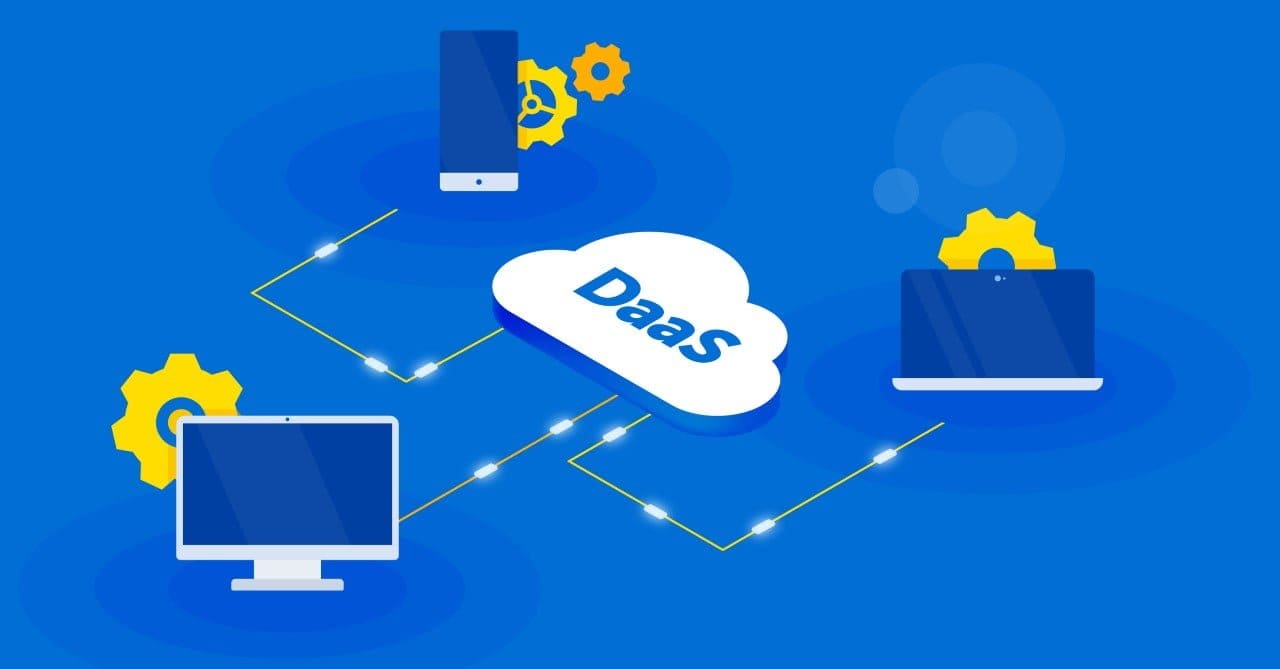
What is Data as a Service (DaaS) for Geospatial?
The Mall for Geospatial Data is now open. But wait. Who is the anchor tenant for demographic data? Only those with an income of over $90,000 with an advanced degree and who are older than 35 years old are allowed into that end of the mall campus. Where can I find satellite data? Go to the top floor… then look down. Who has the best lifestyle segmentation data? I hear only urban dwellers that drive a Volvo can find it. The DaaS Mall for Geospatial Data can be quite convoluted. Let’s explain.
What’s the Purpose of Data as a Service?
DaaS addresses the challenges related to finding or sourcing third-party data, in this case, geospatial data. There are several key benefits of DaaS; the first is the discoverability of available data offered by data marketplaces. It answers the question of “where to find” data, which is why many data platforms, such as Amazon Web Services, host their own marketplace. A second benefit is the ability to streamline procurement using, for example, a click-through license. The third benefit is cost and leveraging a transaction-based data licensing agreement, also known as a “pay-as-you-go” model. Lastly, users are concerned about the currency of data and want to eliminate the need for requesting the latest vintage and updates. An on-demand, lightweight web service can automatically transfer data to users when updates become available.
What are the Benefits of Data as a Service?
Data as a Service (DaaS) offers numerous advantages that transform how organizations handle and utilize data. Key benefits include:
-
- Cost Efficiency: DaaS eliminates the need for extensive data storage infrastructure and maintenance costs, enabling organizations to pay only for the data they use.
- Scalability: DaaS platforms provide scalable solutions, allowing businesses to adjust their data needs based on demand without overhauling their systems.
- Accessibility: Users can access data from anywhere at any time, enhancing flexibility and supporting remote work environments.
- Up-to-Date Information: DaaS providers ensure data is regularly updated, delivering the latest information crucial for decision-making processes.
- Integration and Compatibility: DaaS solutions easily integrate with existing systems, facilitating seamless data flow across different platforms.
- Security: Providers invest heavily in data security measures, ensuring that sensitive information remains protected.
These benefits make DaaS an attractive option for organizations seeking efficient, scalable, and secure data management solutions.
Data as a Service Use Cases
Data as a Service (DaaS) finds applications across various industries due to its versatility and efficiency. Key use cases include:
-
- Urban Planning: Urban planners utilize geospatial DaaS for access to real-time geospatial data, aiding in infrastructure development, zoning, and resource management. This allows for smarter city planning and efficient use of space.
-
- Disaster Response: Emergency services rely on geospatial Data as a Service for timely and accurate data during natural disasters, such as floods and earthquakes, facilitating efficient coordination and rapid response efforts.
-
- Agriculture: Precision agriculture leverages geospatial DaaS for data on weather, soil conditions, and crop health, optimizing farming practices, improving yields, and reducing resource wastage through targeted interventions.
-
- Retail and Marketing: Retailers use geospatial DaaS to analyze consumer behavior, market trends, and location-based data, enabling targeted marketing campaigns and personalized customer experiences.
-
- Healthcare: Geospatial DaaS supports healthcare providers with patient data analytics and geographic health trends, improving diagnostics, treatment plans, and public health management.
-
- Real Estate: Real estate professionals use geospatial Data as a Service to access property data, market trends, and geographic information, facilitating better decision-making in property development, investment, and sales.
-
- Energy: The energy sector benefits from geospatial DaaS by monitoring and managing resources, optimizing routes for energy distribution, and assessing environmental impacts, thus enhancing operational efficiency and sustainability.
-
- Telecommunications: Telecommunications companies leverage geospatial DaaS to optimize network planning, analyze service coverage, and improve customer service by integrating location-based data into their operations.
Data Marketplaces
There are as many definitions of DaaS as there are solution providers. If you speak strictly to geospatial data product vendors, they will offer you a marketplace to download, try and buy products. For example, they will offer street centerline data or political boundaries in shapefile format, as well as demographic data as an Excel spreadsheet, perhaps with a column for a data join such as a ZIP Code or property number. A variety of geospatial APIs provides data for specific use cases such as weather, emergency E911 services, or local tax data. In some cases, data vendors will offer a unique ID code that facilitates data joins to other data products with a field for that ID code. HERE’s Marketplace, CARTO Spatial Data Catalog, Google, or Precisely’s Data Experience are good examples of data marketplaces.
DaaS Web Services vs. Data-Centric SaaS
This is usually the most common definition of DaaS. Many DaaS Web Services are SaaS location-based APIs built more for software developers, and which offer an on-demand, transaction-based model. This model offers access to these APIs and consumes data outside the platform, for example, Precisely Location APIs, HERE Location Services, Google Maps API, or Mapbox. These APIs provide web mapping, data processing, and an analysis platform, and include a data catalog with both SDKs and APIs to augment customized software development.
Data Integrated into Application and Platform
On the other hand, Software as a Service (SaaS) mapping and analytics tools that allow you to embed data on-demand make it extremely easy to accelerate location analytics because of the ability to use internal and third-party data. In this model, data is integrated within the platform and accessible for consumption by the tool itself. The CARTO Data Observatory, ESRI Business Analyst, and Environics Envision are examples of this model, with all three providing excellent visualization and location intelligence platforms.
DaaS, however, can be described in quite different ways providing varying services to end-users. DaaS as a personalized, value-added service offers a convenient and efficient way to get the data required for a specific business purpose in the format needed, without the burden of downloading, processing, converting, or integrating massive amounts of data at the country, state, provincial or municipal level when only a smaller but unique territory is necessary and can be licensed accordingly. This is sometimes referred to as a “data cut” or using a minimum bounding rectangle from which to extract only the data needed.
Big Data as a Service
Geospatial data is unique, and some use cases require advanced computing power. Address data that can include millions of property records to perform risk analysis to account for extreme weather patterns are needed by insurance companies and almost always require a data processing platform that is scalable. Likewise, multi-band satellite imagery on which machine learning is used to classify change detection requires much computing power. Examples of this are automated workflows performed daily, weekly, or monthly using cloud data delivery platforms such as AWS S3, Azure Blob Storage, or Google Cloud Storage. Cloud big data processing where multi-vendor data aggregation, filtering and incremental updates are a necessity may require platforms such as Databricks, Snowflake, Google Big Query, or AWS Redshift.
Geospatial Data as a Service
In this last example, geospatial data process automation and modeling based on corporate needs are examples of use cases that provide teams with autonomy. Data processing may include data normalization, address standardization, geocoding, advanced geospatial modeling, and data dashboard development.
DaaS Consulting
Finally, what many companies fail to realize is that geospatial is unique and many companies lack the expertise to go beyond basic data analysis. Here, integration workflows or providing geocoding benchmarks on large volumes of data may be required. DaaS consulting for more advanced services are designed to help select data and convert them into business answers.
Find the Best Data as a Service Solutions With Korem
Finding the best Data as a Service (DaaS) solutions is crucial for harnessing the full potential of geospatial data. Korem partners with leading Data as a Service providers to offer top-tier solutions tailored to various industries.
Whether you’re involved in urban planning, disaster response, agriculture, retail, or healthcare, Korem ensures access to reliable, scalable, and secure geospatial data services. Our expertise in data analytics, integrating and delivering these solutions allows you to make informed decisions, optimize operations, and achieve your goals.
Explore how Korem’s geospatial solutions can connect you with the best Data as a Service solutions to enhance your data management strategy and drive success in your projects.
